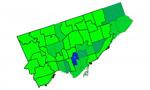
Now I’ve sorted out formatting the labels and scraping the data, I should be almost ready to produce a pretty map.
Well, almost. The DBF component of a shapefile seems somewhat resistant to adding a column, and SQLite doesn’t seem very happy with its ALTER TABLE ADD COLUMN ... syntax.
As usual, I needed to create the database table from the shapefile. I’m not bothered about CRS, so I used -1.
.read init_spatialite-2.3.sql ASCII

.loadshp TCL3_ICITW Wards CP1252 -1

alter table wards add column candidates integer
I had mixed success getting data to load into this new column. So I improvised.
!!! WARNING: EGREGIOUS MISUSE OF DATA FOLLOWS !!!
(Sensitive readers are advised to look away)
There’s a seeming unused numeric column SHAPE_LEN in the table. As my new candidates column was coming up with occasional nulls, I cheated:
UPDATE Wards set shape_len=3 where scode_name="1"

UPDATE Wards set shape_len=1 where scode_name="2"

UPDATE Wards set shape_len=0 where scode_name="3"

...

UPDATE Wards set shape_len=3 where scode_name="44";
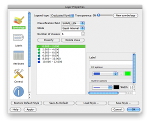
I then added SHAPE_LEN as the label, and defined a range based colour gradient for the wards in QGIS’s layer properties:

